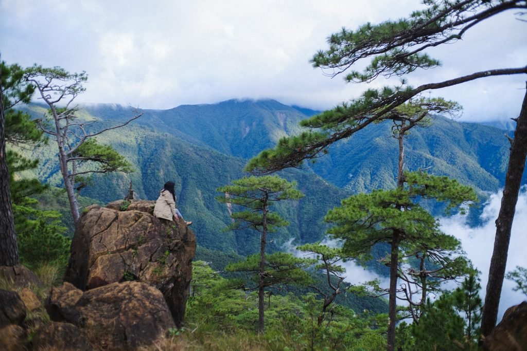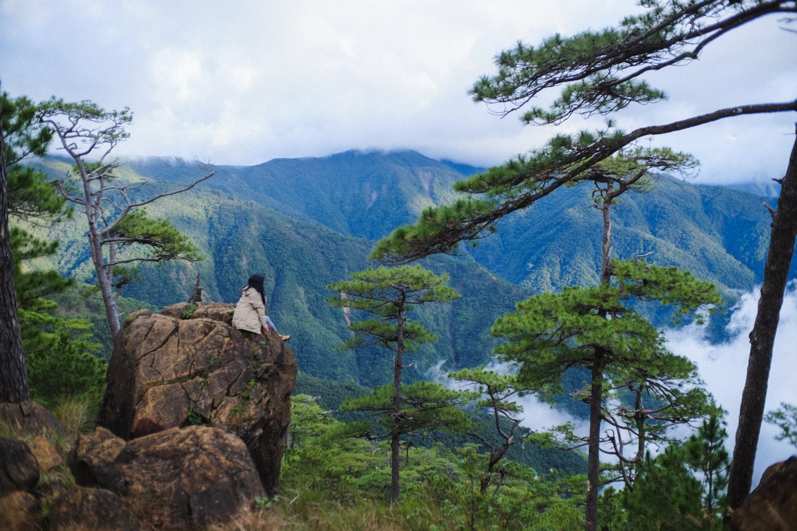
Mt. Tapulao is the highest point the Zambales Mountain Range, hence the highest point of Zambales, a province on the west coast of Central Luzon. It’s a fairly challenging trek — called a “die-hike” by those who attempt the one-day hike — but it’s much friendlier when done over one or multiple nights. This is what we did — a two-night trip so we could enjoy the cool, beautiful campsites full of pine trees, and a leisurely trek to the summit.
Mt. Tapulao (2037+ masl) via backtrail
- Major Climb
- Trail Difficulty: 5/9
- Trail Class 1-3: Hiking and scrambling in some sections
- Best time to climb: Dry season. Rain increases the trail difficulty… by quite a lot!
Information updated as of time of writing. Note that this may change in the future.
Logistics
Getting There
- From Manila:
- If commuting: Victory Liner to Iba, Zambales via SCTEX (Fare from Pasay to Iba is Php 615 as of November 2025). At the Iba Terminal, get a tricycle to Sitio Dampay in Palauig (this may cost around Php 400); you can inform your tricycle driver that you are doing the Tapulao hike for clarity.
- If driving: Pin Mt. Tapulao Registration Office on Google Maps or Waze.
- Road condition to jump-off: Paved; you can park near the registration office. A tricycle will take you to the trailhead.
Gear & Water
- Water Sources: Available, but they vary throughout the year. In or after the rainy season, there are two water sources along the trail (at KM5 and between KM9-10). In summer, these two may run dry. The most constant water source is near the old bunker at KM16 (near the common campsites), and a small trickle remains here even in summer.
- Recommended Carry (Water): 2-3L per person will last you to the top; you can refill near KM16.
- All basic gear is required, but these particularly come in handy:
- Headlamp. The trail is long and tedious. You need two hands free for some sections.
- Good shoes + backup shoes or sandals. Our team has more than 10 Tapulao climbs combined, and there is one most common story we experience and hear from others: footwear fails. Sneakers or shoes that get torn halfway up or down the mountain; dead toenails…
- Thermals + emergency blanket. It’s very cold above the pine line at night. Bring proper thermal wear (learn to layer); bring an emergency blanket (the foil one).
Safety
- Known hazards: Loose and slippery rocks, high risk of ankle and knee sprains. Rain will greatly increase your pacing on the trail. Snakes may cross the trail; avoid them because you usually don’t have time to ID. They will usually avoid you; don’t harm or provoke them. Limatik or leeches are present; not a big hazard, but an annoyance.
- Emergency: Your first rescue contact is your guide; but of course, reach out to your emergency contacts off-mountain to provide info and ask for help. For minor emergencies, you can be rescued (for a fee) by an enduro motorcycle; you will have to ride pillion. (It’s a very thrilling and dangerous ride, so it’s really something you do in case of emergency.)
- Signal: Patchy but existent; even patchier or no signal when it’s cloudy or rainy.
Route Description
The trail to the summit is nominally 18km, but it could be longer or shorter — not sure if the markers are accurate. KM18 is the summit and KM1 is the trailhead.
Segment 1: Jumpoff → KM5 (Initial Trail to Tindahan)
These days, a tricycle can take you all the way to the current trailhead. The first 1-2km are now cemented — it used to be that you had to walk up or down that cemented road from the barangay hall, but it’s a total drag; the tricycle rides augment local income and are a blessing on the feet.
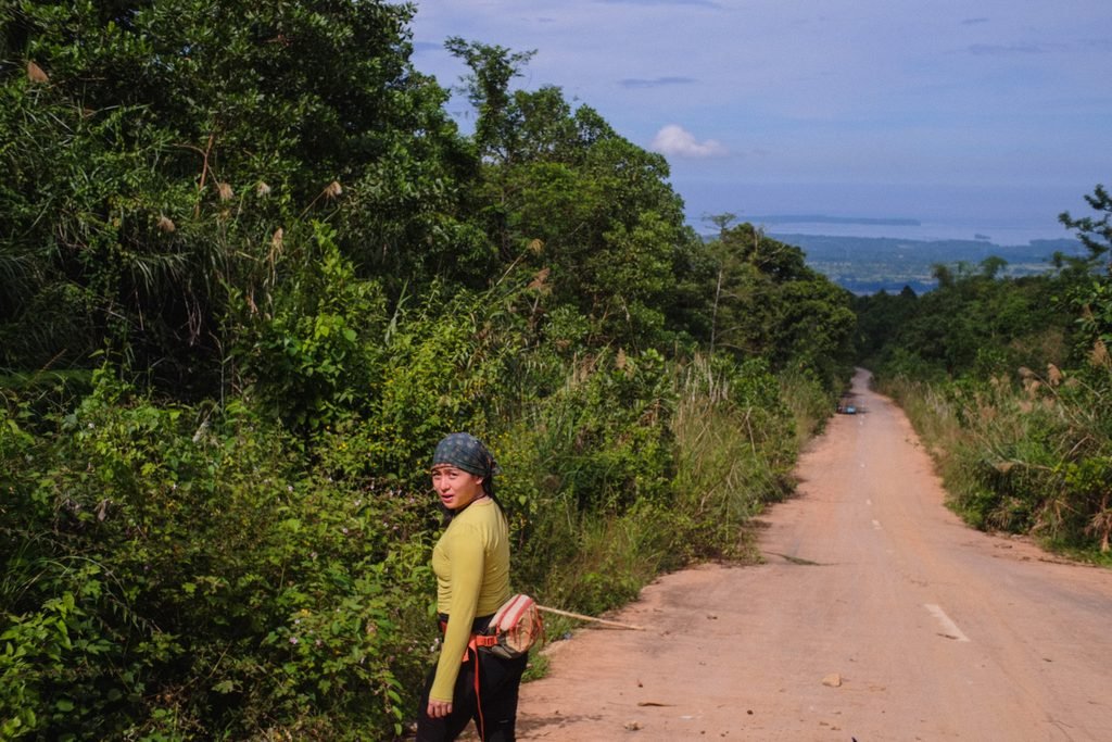
The current trailhead is a sudden transition from cemented road to a rocky, dusty (or muddy) forest trail. People still live around here; you’ll see some homes off the trail. You’ll soon reach the first major milestone, the store at KM5. If it’s open, it’s your last chance to purchase anything along the trail — have some Pancit Canton cooked or buy a softdrink. If it’s closed, you can simply rest in the kubo and refill your water from the nearby pipeline.
Segment 2: KM5 → KM10 (Scree and Forest Trails)
We come to a tedious part of the trail. Loose rocks, soft clay, narrow forest paths. It feels endless. “Malapit na ba?” you will ask, or try not to repeat. But take time to appreciate the beauty of this part of the trail: the giant ferns, the mint-like bushes, forest flowers, and colorful soil. You may also notice the air growing cooler as you gain elevation.
Segment 3: KM10 → KM16 (Scenic Trails to Pine Forest Campsite)
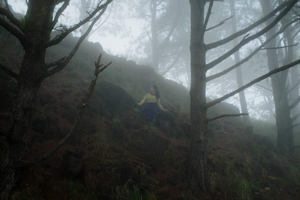
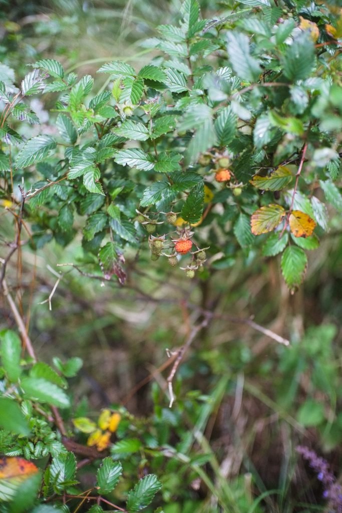
Somewhere along this segment, the air becomes decidedly cooler, as if someone’s turned on the aircon. The vegetation changes — you’ll see the first wild raspberry bushes, also called sapinit; purple pogostemons and lobelias abound; you may spot a few pitcher plants. Finally, the mist rolls in and out as you break through the first Sumatran pine trees — these are the “tapulao” that the mountain is named after.
Segment 4: KM 16 → KM18 (Mossy Forest to Summit)
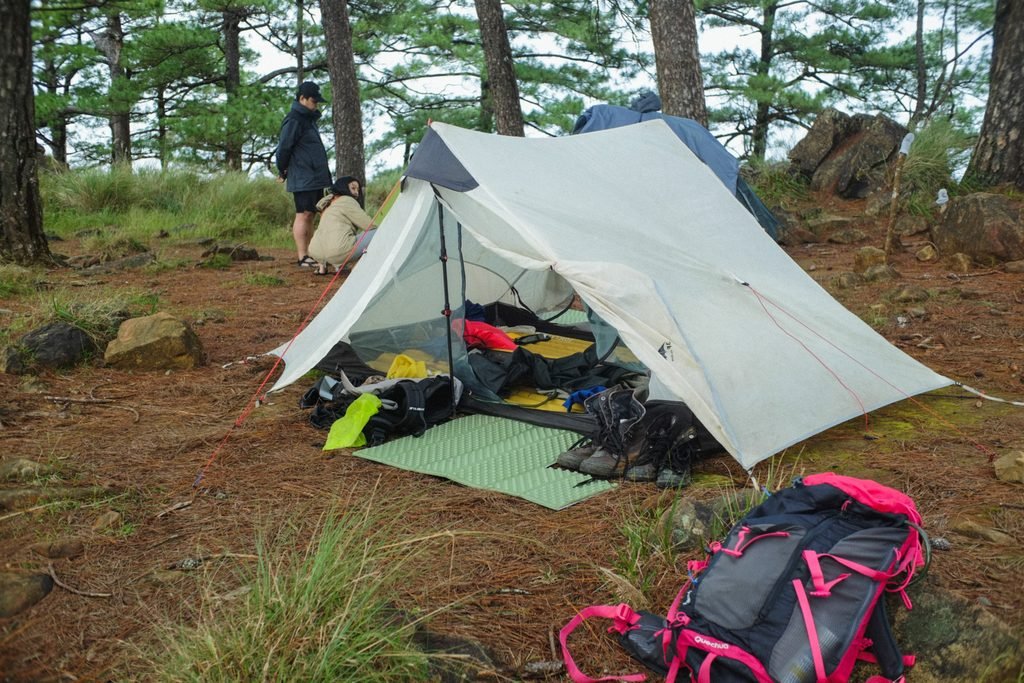
The campsites are at KM16. Old bunkers, remnants of the American chromite mine, are scattered around the area. KM16 is notable for being the most scenic part of the trail. To the west, if the weather is clear, you’ll see the municipality of Masinloc and the West Philippine Sea. To the east is a truly majestic vista of pine trees and rolling mountain slopes as far as the eye can see.
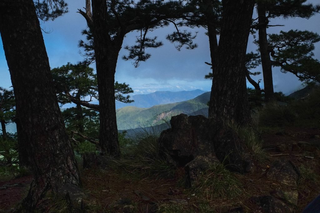
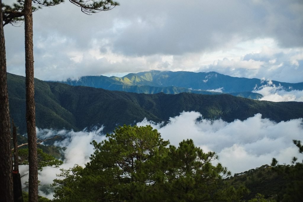
If you’re making your way to the summit, you’ll pass by the iconic “Mossy Forest” sign. The transition from the open pine forest trail to the mossy forest path is magical in its suddenness. It’s as if you’re entering a tunnel, stepping into another world.
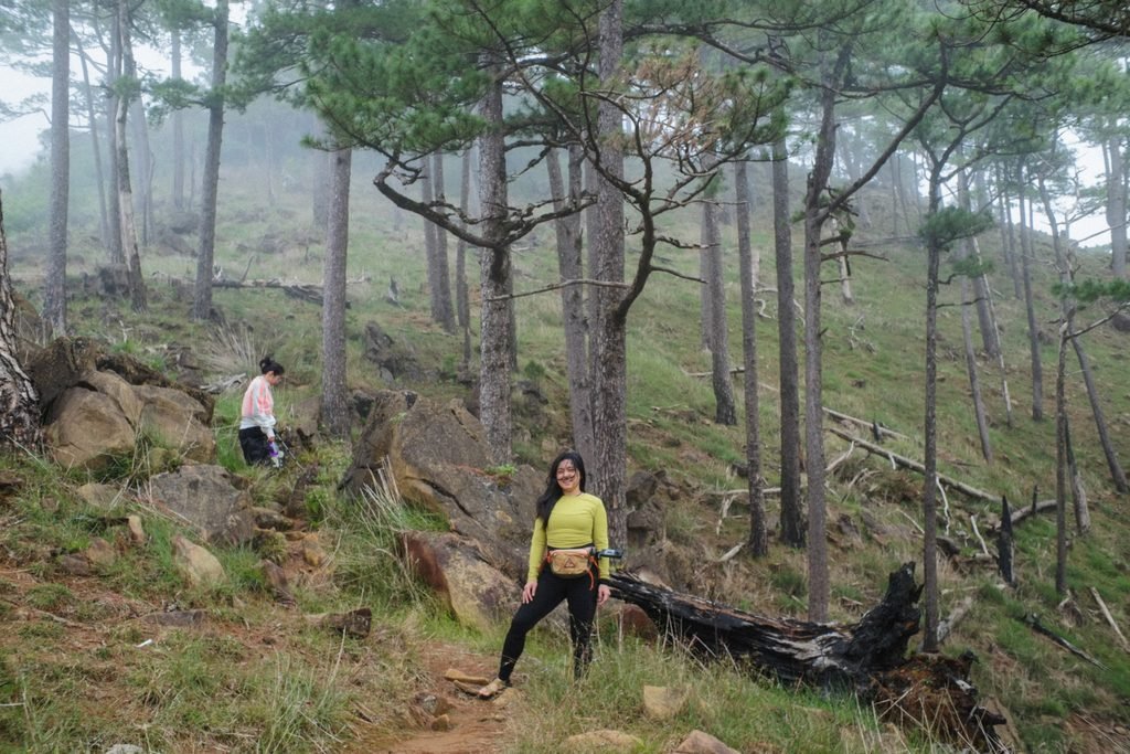
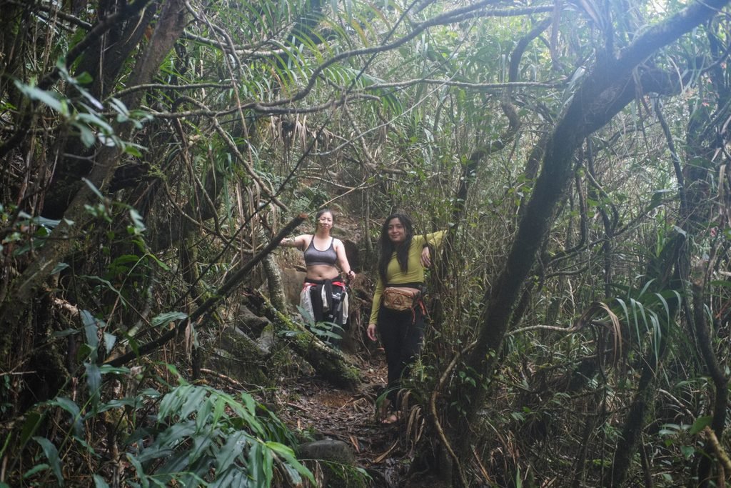
The mossy forest trail to the summit takes around an hour. It has steep, narrow sections. Despite the popularity of this trail, many species in this mountain remain unclassified — a testament to our country’s extremely rich biodiversity.
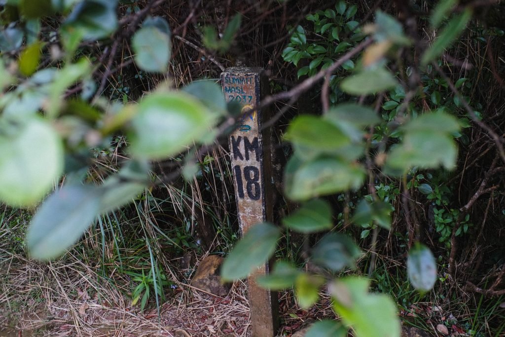
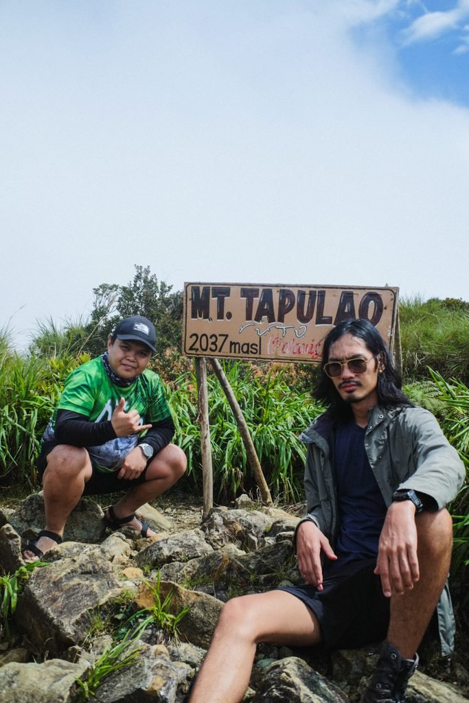
At the summit, there’s no view — when you come out of the mossy forest, you’ll find yourself in a group of small clearings amidst garden-like vegetation. The trees, exposed to the high peak winds, are stunted and small. You’ll find the KM18 marker, the Mt. Tapulao summit signboard, and everyone’s favorite landmark — the “World Tree,” a distinctively wizened, branching tree.
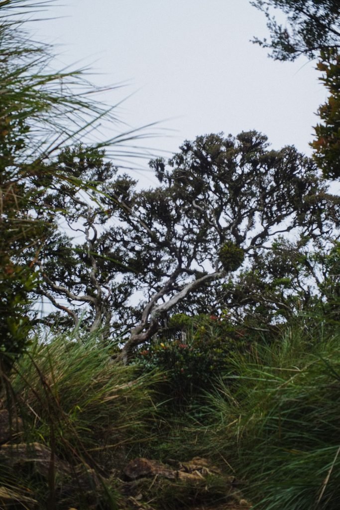
Fun fact: the Tapulao Traverse trail passes under the World Tree. So the “hole” beside the bottom of the World Tree is actually a trail coming from Tarlac.
Our Itinerary
We took a two-night, three-day trip to Mt. Tapulao. We were a group of four people, and we’ve all been to Tapulao before — that’s why we wanted a more relaxing, immersive experience. The campsites really deserve to be enjoyed!
Day 1
I’m based in Zambales, so our friends took a bus to our house and we drove to Palauig. However, we got caught up in prepping, and ended up starting very late.
- 10:30 AM — Start trek.
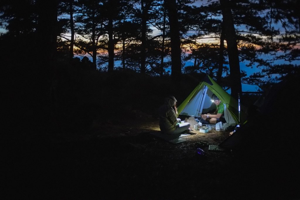
- 07:00 PM — Set up camp near KM16.
A 9-hour trek to the campsite — we were definitely not rushing. Faster is doable, yes, but I think between 8-10 hours is a normal pace for beginners (and for slower hikers like me).
Day 2
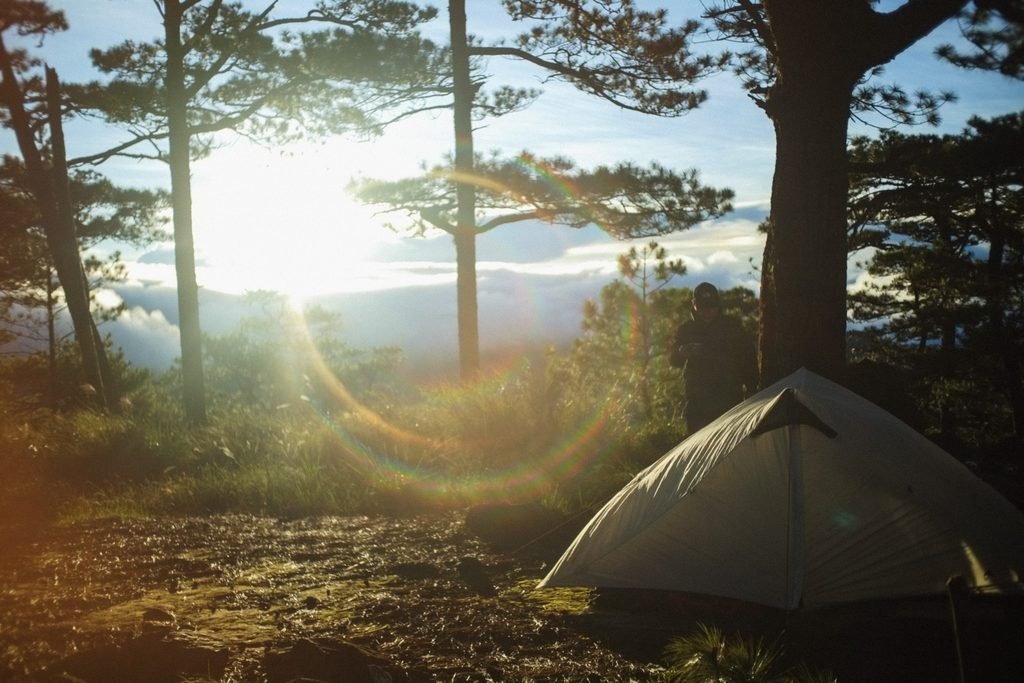
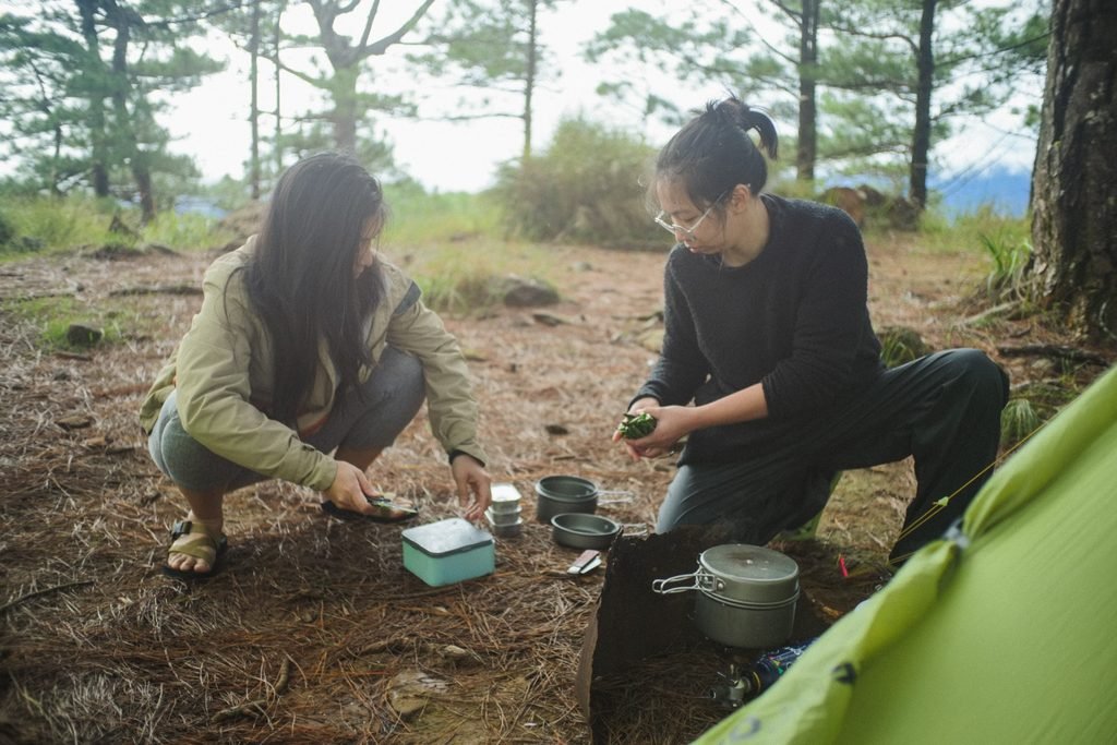
Whole day of relaxing, cooking, eating, and exploring. We went to the summit in the morning.
Day 3
- 06:00 AM — Slow breakfast and break camp
- 08:30 AM — Start descent
- 03:00 PM — Finish trek for the ones with no injuries
- 04:30 PM — Finish trek for the injured party (Mao was wearing the wrong shoes)
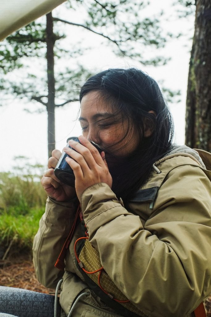
We had a semi-fancy dinner at Servando Restaurant, which is at a beach resort in Botolan, before everyone went home.
Guides, Porters, Fees, Contacts (Support the Local Economy!)
- Registration & Contacts: FB: Julaila Castillo, Turismo ng Palauig. Our guide was Kuya Augosto Balangon.
- Registration Fee: Php 50 per person at the barangay.
- Guide Required: Yes
- Guide Rates: 1 guide = Php 1,500 for a dayhike + Php 1,000 per additional day.
- Tricycle fees from the barangay to the trailhead may vary; we paid Php 500 for 4pax, but this was a special ride. No official tricycles were available as we were so late, so our guide Kuya Agosto used his personal tricycle for us.
- Etiquette:
- Bring food for your guides and porters — they often don’t have their own. They usually bring additional water containers and will help you gather water, but their own food supplies are slim.
Important: guides are not superhuman.
Your guides and porters are strong, but not superhuman. Be reasonable in your expectations. They will say yes to extra tips for extra work… but remember, life is hard, so people agree to difficult things just to get paid. After talking to a bunch of different guides and porters while resting on the trail, we found out the following:
- Guides and porters on Mt. Tapulao do not enjoy the dayhikes. They find it hard. Yes, dayhikes are a source of income for them, but Mt. Tapulao is very difficult for a dayhike (that’s why people call it a “die-hike”). If you are planning a Tapulao dayhike, make sure you and your entire group are physically fit and mentally ready — when you struggle, your guides also struggle!
- Porters agree to extra loads beyond their 15kg maximum. But just because they agree doesn’t mean they can do it. To the group who had porters bring up a large, multi-room glamping tent on November 1, 2025 — your tent almost didn’t make it up the mountain. The porters were resting on the trail, absolutely pissed.
The Experience
Culture & History Notes
“The Old Mining Road”
The Mt. Tapulao trail is, in fact, an old mining road. Specifically, “the old mining road” is the trail from the Dampay Resettlement Area in Barangay Salaza, Palauig, Zambales all the way to KM16, where you can find old miners’ bunkers.
This is what makes the Tapulao trail slightly different from many mountain trails in the Philippines — the path was originally created to be a rough road used by trucks that hauled chromite down the mountain for most of the 20th century. This is why, in some ways, it may not feel like a “real” trail. Ordinarily, on other mountains, trails tend to avoid overly rocky paths.
You may notice perfectly round holes in some of the boulders along the trail: dynamite holes.
Will mining be back?
The Coto mines, owned by CMI (Consolidated Mining Inc.) and run by Benguet Mining, operated from the 1930s to 2006. It seems the mine was closed due to some issues surrounding illegal Chinese workers.
A whole community of local employees lived and worked in Coto, Masinloc. The cessation of mining operations hit them hard: it literally pulled the plug on their homes and livelihood. But slowly, as people do, they bounced back via a burgeoning tourism industry. These days, when you say “Coto Mines,” you’re likely talking about the tourist destination. Do a quick search on the internet and you’ll see photos of a river, shining like sapphire in the sun: the Coto Kidz Pool.
In 2013, chromite mining activity was still being reported around the area despite a lack of permits. These alleged mines are small-scale, though; as recently as 2023, it’s been reported that CMI has plans of resuming the large-scale mine’s operations. There is pushback from the community — and within reason! Despite our national economy’s need for income and industry, the environment must be protected and the local community must benefit.
Dampay Resettlement Area
Mount Pinatubo erupted in 1991, devastating the surrounding provinces. In the months and years following the eruption, thousands of Aetas fled down from their homes in the mountains. The government created resettlement zones for displaced families, mostly indigenous Aetas. Mt. Tapulao’s trailhead, the Dampay Resettlement Area, is one such site.
Our guide, Kuya Augosto, was a beneficiary of resettlement — his family was displaced from Poonbato, Botolan. The community, though still poorer than major town centers, seems to be doing well. They are literate (this is still a struggle for other displaced Aeta communities); there are income opportunities for the able-bodied beyond tourism and agriculture. Basic education is free, and a new school (elementary or high school, I forgot) has been built in Dampay so students won’t have to travel to Palauig.
Locals use the word “bakwit” to refer to themselves as evacuees. Sadly, the living conditions of many “bakwits” are not yet up to par. As either tourists or residents in Central Luzon, it’s our responsibility to have our eyes wide open to the plight of Pinatubo-displaced Aetas. Though nature has forced them out of their original forest homes, economically speaking, they are not yet out of the woods.
Geography & Biodiversity Notes
The Zambales Ophiolite Complex
Mt. Tapulao is the highest peak of the ZOC, or the Zambales Ophiolite Complex. According to this 2017 paper, the ZOC “is one of the most well-studied crust-mantle sequences in the region.”
Ophiolites are “slices of the ocean floor that have been thrust above sea level by the action of plate tectonics” (Source: Britannica). By studying them, we gain a deeper understanding of the planet’s history — we get information that otherwise, we’d have to go down to the ocean floor for.
I was very interested in the rocks and clay on the trail. In some sections, there would be streaks of pure white and pure black clay — almost like Oreos — embedded in the red-orange trail mud. In other sections, I would find the same soil colors — but in rock form. I brought home two small rocks to study. Cross-checking with other samples online, and considering the source, I can cautiously assume that these are samples of chromitic serpentinite.
Even more interesting — as a layman, I thought that the multicolored clay is a precursor of the rocks; I initially assumed that over time, pressure must have caused the clay to harden and solidify into these rocks. This is why I took small rock and clay samples, because believe me, it’s kind of hard to ponder about this while descending Tapulao. Anyway, it seems to be the other way around: serpentinite is formed under the ocean. When tectonic plates pushed up the ocean’s crust, forming our mountains, these rocks are exposed to the sky. Over millions of years, parts of the ophiolite are weathered into dust and clay. This 2006 study about the weathering of serpentinite seems to align with my observations — including the oxidation which results in red and orange soil.
Of species described and undescribed
There are so many unidentified or undescribed plants and animals on Mt. Tapulao. As a biodiversity hotspot, the place is a gift that keeps on giving.
We observed or encountered a small brown mouse, two small snakes, a bipalium or hammerhead worm, and of course, limatik. We never saw any civets or musang, but we encountered their droppings all along the trail, full of half-digested red, purple, and blue berries.
The trail was bursting with wild raspberries, commonly called sapinit, although not all the young bushes bore fruit. Of the ones I sampled, they were still pretty sour. I do regret, though, not harvesting leaves for tea!
The trail is also alive with many different species of ferns. One of them caught my eye with its large and soft, palm-like leaves with brilliant red young fronds, transitioning to green as they grew. I didn’t even know they were ferns until I noticed the unfurling fiddleheads. Kuya Augosto informed me that the young tips of this fern were edible. I watched him have a snack, then I took a few myself. They taste different from the usual restaurant ferns or pako — they are a bit mellower, slightly sweeter, and more pleasant on their own.
We noticed some beautiful purple flowers on the trail and documented them for later research. However, disappointingly, Google Image searches just couldn’t cut it. Finally, I came across Jardinerong Sunog on Facebook, and he very graciously gave me the time and the positive IDs for the two plants.
Firstly, Pogostemon velatus, which looks a bit like purple salvia. It’s a relative of mint and patchouli, and its buds do smell strong and lovely. Unfortunately, I hadn’t been able to ask our guide if they have a common name for this plant. Jardinerong Sunog told me that Elmer Drew Merrill, an American botanist, recorded common names for P. velatus in the early 20th century: dila, opop, and sipang-ti-bayungan.
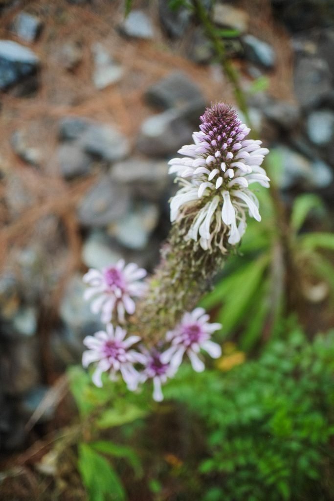
Next, I showed Jardinerong Sunog a photo of a majestically tall flower with small, purple to white leaves. It seemed to be Lobelia nicotianifolia, which is called wild tobacco in India, but he informed me that “Lobelia nicotianifolia from Zambales is now L. philippinensis subsp. philippinensis. Again, I’m so thankful for the time and information, and am even more inspired to document more curiosities when hiking.
State-of-the-Trail Notes
Cleanliness level: Bad! It was messy — lots of plastic in little piles, and along the trail. Kudos to one of the hiking groups who did a cleanup of the campsites during our same weekend. I hope we can educate one another more effectively about keeping our mountains clean. Logging, mining, and hunting have threatened Mt. Tapulao’s ecosystem. But tourism is also a threat — we are the most dangerous animal. Remember, leave no trace!