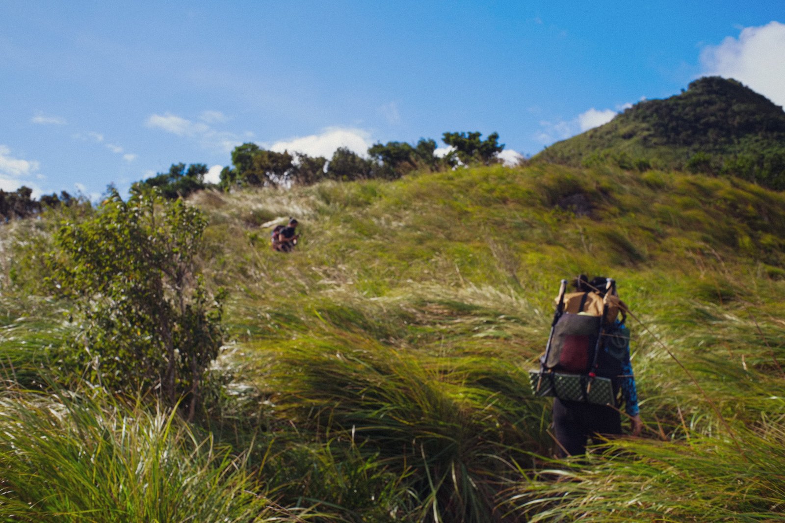
The Tarak Ridge trail in Mt. Mariveles, Bataan, has evolved over the years. Some things are worse, some things are better. Some things are different, some still the same.
Worse: Deforestation
The inexplicable, and expanding, destruction of the trailhead. Deforestation on a scale that can’t be justified if this is simply an access or bypass road. What is going on in Barangay Alas-Asin?
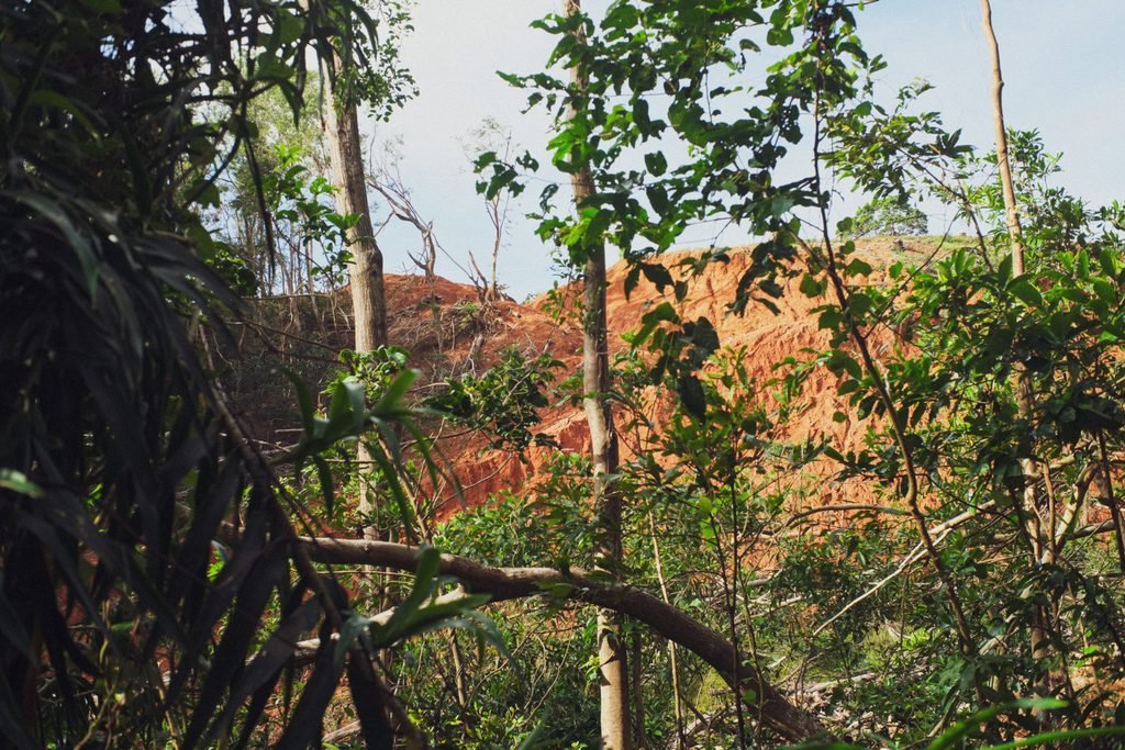
When we started hiking the Tarak trail six years ago, we found alarming hints of large-scale mining on the mountain: just out of sight near the Papaya River and all along the trail, we would hear chainsaws day and night. Considering Mariveles’s biodiversity and Barangay Alas-asin’s proximity to a watershed, shouldn’t this be a protected area?
As years passed, the cemented road extended past Nanay Cording’s old home. We thought the barangay was simply expanding, which was bittersweet. Progress is good, and places don’t stay the same forever.
But on our November 2025 climb we were greeted by a shocking sight: massive deforestation way past the original trailhead. Is it a bypass road? Is it a farm-to-market road?
Huge excavators flank wide swathes of barren red earth, wider than a highway. This used to be thick forest, so thick it was dark under the trees. There were spiders whose eyes glowed in the dew at dawn. There were langka trees. Once, a civet once crossed our path here, eyes aglow in the dark evening. A whole part of the mountain, once so full of life, now gone. What is going on here?
Better: Professionalization
The trail is cleaner and hikes are more organized than before, thanks to the enforcement and protection of an official association of local guides.
The first time my husband and I climbed Tarak was in 2019. We never met Nanay Cording, whose family home marked the original trailhead; she had just died then, and even now is fondly remembered by older mountaineers. Her granddaughter, Elizabeth Naga (or Ate Beth) had not yet been officially recognized by the barangay as a legitimate guide and caretaker of the Tarak Trail. Back in 2019, the situation between Ate Beth’s family and the barangay officials was palpably contentious. Once, when we hitched an informal ride on Ate Beth’s personal tricycle back to the highway, the “legitimate” tricycle drivers in town questioned us rather aggressively. All this has changed, and for the better.
After a lot of legal and quasi-legal drama (the details of which I’m only half-acquainted with and so am not qualified to explain) the Tarak Guide Association was established circa 2022. You’d think that commercialization and popularity would worsen the state of the trail — that’s what happens in many other places, AKA the “Fee-lippines” effect — but it didn’t. The guides, led by Ate Beth, truly love and care for the trail and its guests. Rescue responses are swift and effective.
Best of all, the trail is much cleaner than it was in the days before the Tarak Guide Association. The guides are quite good about reminding hikers about cleanliness. I know they do go the extra mile and still actively clean the trail now and then — but I’m hoping for a world in which they didn’t have to do that. Garbage in, garbage out.
Different: Guides Required
Guides are now required, and this has pros and cons. We miss independently exploring and navigating this trail, but the guide system enforces safety, cleanliness, and hiker etiquette.
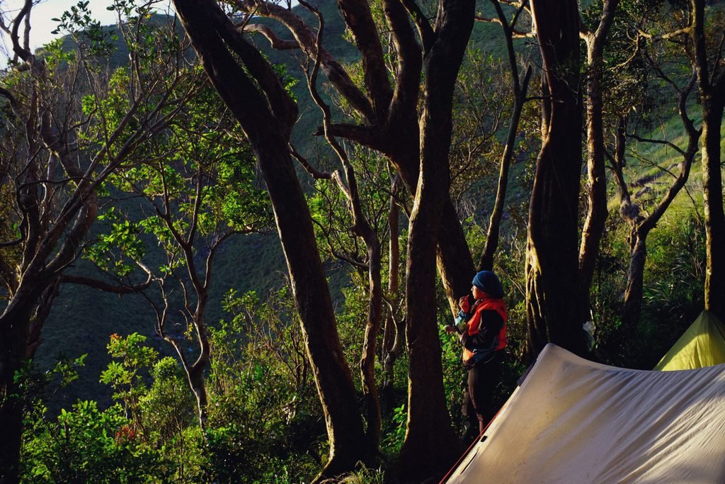
Though the Tarak trail is called “easy” and “beginner-friendly” by some mountaineers, Mariveles is still a thickly rainforested mountain. You can get lost and there are dangers on the trail. There have been snake bites, bee attacks, and many lost hikers.
When we first hiked Tarak, guides weren’t required. I was very much a beginner hiker, and this trail is where I learned to read trail marks and basic forest navigation. The trail is straightforward, but there are tricky spots.
My friends and I can grumble about the required guides thing, because Tarak has come to feel like a secret playground to us. But listening to rescue stories, realizing that the local economy supported, and witnessing the way the guides protect the trail, it’s hard to argue with the policy. A formalized association also cements the status of Tarak as an ecological tourist destination — which may perhaps protect it from destruction.
Same: The Beauty of the Trail
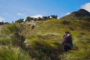
The beauty of the trail. It’s still the right amount of therapeutically challenging. And since Bataan is not too far away, it’s an accessible quick trip to restore the soul. And so we keep coming back.
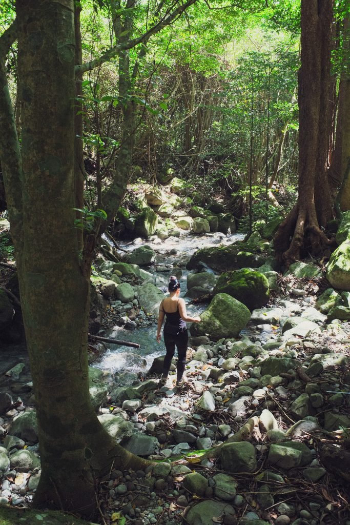
From adobo and dried mango at camp, to reading Pride & Prejudice in the ridge wind under a brilliant sunset, to a cold dip in Papaya River, this was such a pleasant camping trip. We’ve climbed Tarak in weathers fair and foul, and this time around we were blessed with Studio Ghibli-themed skies.
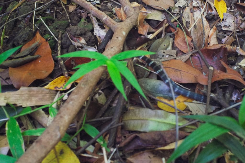
Also, some bonus snake encounters: We came across a baby barred coral snake on the way to Papaya River. It was shy and slithered away. Past Tarak Peak, we found the shed skin of a large Philippine Cobra. Lastly, our guide saw a pit viper near the grasslands on the day of our descent. These are some of the most venomous snakes in the Philippines, but luckily, they would rather avoid humans.
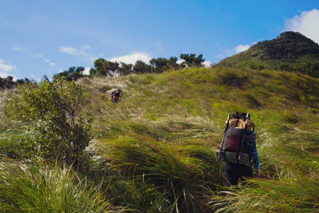
Tarak Ridge (1,006masl)
1,006masl at the ridge. 1,130masl at the peak. (The peak of Tarak is not the summit of Mariveles, which is a dormant stratovolcano with multiple jagged peaks.)
- Major Climb
- Trail Difficulty: 4/9. Any amount of rain can make it much more difficult — like a 5-6/9
- Trail Class 1-3 (some scrambling sections)
- Best Time to Climb: Dry season. During amihan season if you are camping at the ridge or peak, make sure to bring complete thermals and emergency blankets.
Information updated as of time of writing. Note that this may change in the future!
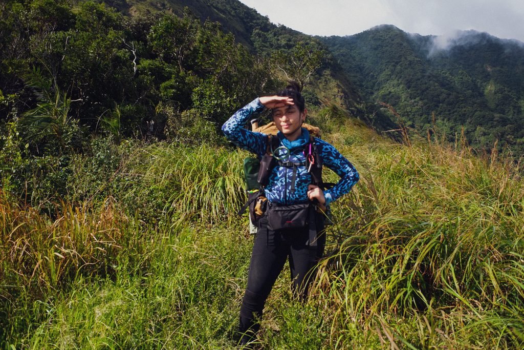
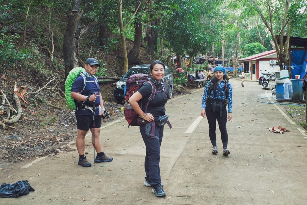
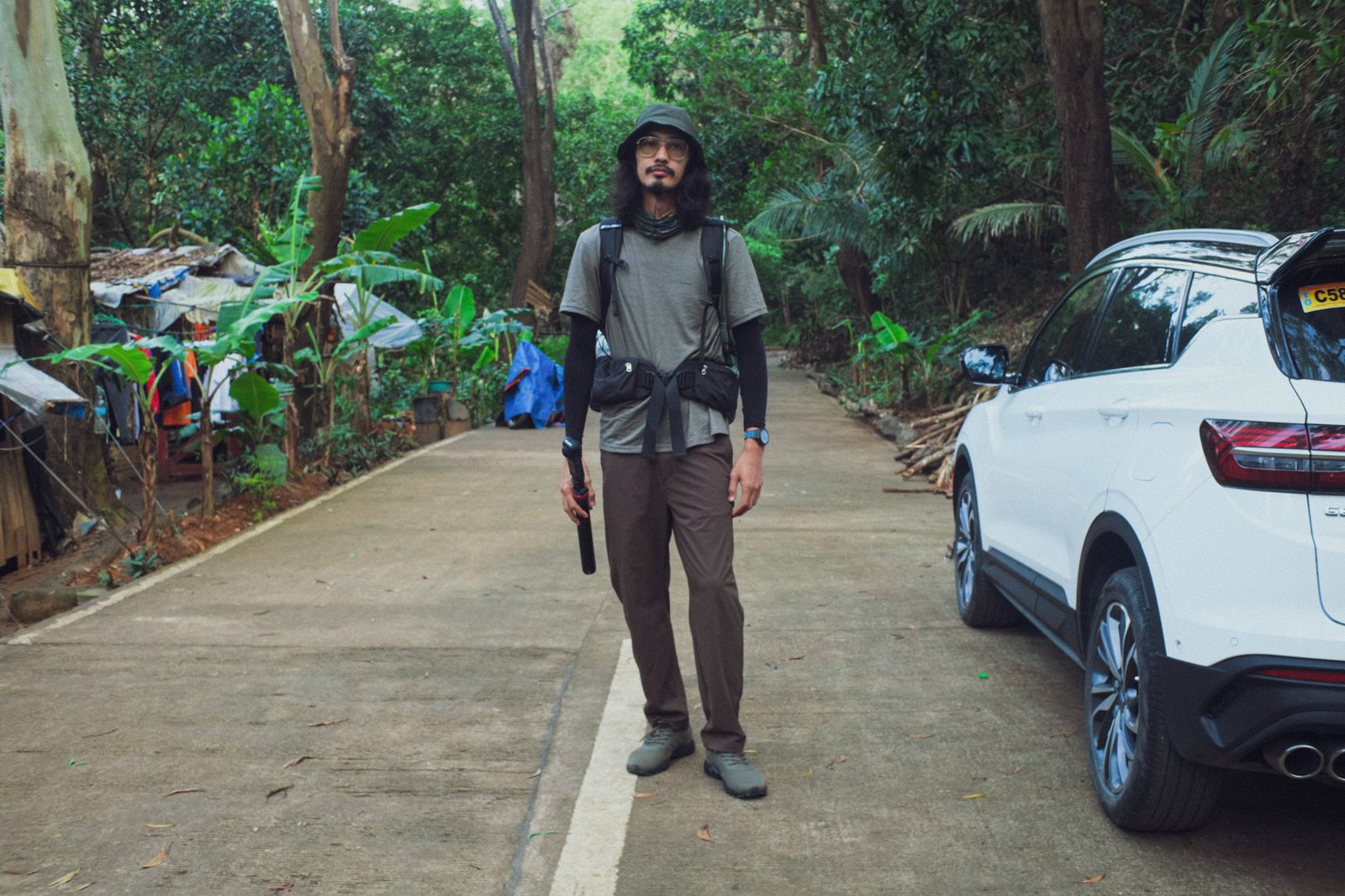
This was meant to be a training hike for a Guiting-Guiting climb in December 2025. With my husband Mao, and friends Carl and Anna, we pushed past Tarak Peak with full packs. Our goal was to navigate to El Saco Peak, but we didn’t quite make it due to lack of water and low visibility — heavy clouds had moved in, obscuring the world around us. It was still an exhilarating exercise.
Sadly, the Mt. Guiting-Guiting climb was cancelled after a fellow hiker suffered hypothermia there in late November, due to unfavorable weather conditions, and passed away. Guiting-Guiting closed its doors, and the local online outdoorsy community rang with alarm and some disputes in the days that followed. While we grieve, I believe it’s very important to debrief and discuss in the interest of safety. Why do we do what we do? And how can we be as safe as possible, while pursuing an activity which is quite naturally dangerous?
As the threat of hypothermia is more common than we think in local mountaineering, I stand firm in the belief that the spike in discussion means no disrespect to the dead. After the unfortunate event, some hikers I spoke to actually realized that they had experienced symptoms of hypothermia before without knowing it. These discussions can save lives. I believe our fellow hiker knew the risks, and that neither he nor the guides were at dire fault. On any mountain, once the weather is against you, you’re fighting for your life. Indeed, we’re at the mercy of nature. May he rest in peace.
Instead of Guiting-Guiting, we ended up in Kibungan. More on that soon.
Leave a Reply